
Commissioner for Environment and Planning attended the conference 'Digitalisation in Spatial Planning – The Next Generation'
Published November 27, 2025
Commissioner for Environment and Planning attended the conference 'Digitalisation in Spatial Planning – The Next Generation'
Published November 27, 2025
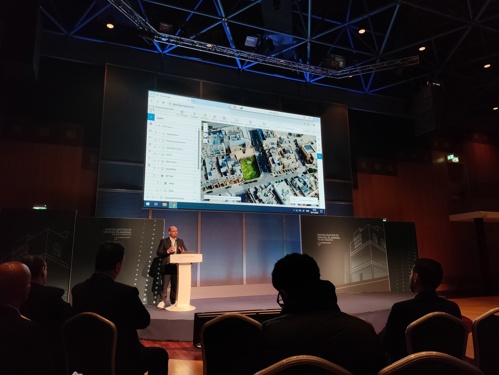
On 26 November 2025, the Commissioner for Environment and Planning attended the conference “Digitalisation in Spatial Planning – The Next Generation,” organised by the Planning Authority. The event focused on the transformative role of digital technologies, with particular emphasis on the application of artificial intelligence to improve the understanding and evaluation of proposed developments. One of the key themes discussed was the use of AI-generated visual simulations - such as shadow analyses and neighbourhood impact projections - which enable both stakeholders and decision-makers to better comprehend how a development interacts with its surroundings. These enhanced tools not only support greater transparency and efficiency within the planning process but also help reduce late-stage complaints once a site is committed at the implementation phase.
Speakers emphasised that, while powerful, AI remains an approximation rather than an absolute representation of reality. As a result, operators must exercise informed judgment when determining the appropriate level of accuracy required for each assessment. The conference further highlighted that digitalisation in spatial planning is an ongoing process, driven by continuous data updates and evolving technological capabilities.
The Planning Authority is at the forefront of this digital shift. Its transition to a fully paperless system, coupled with 24/7 remote access for architects, oversight bodies such as the Office of the Ombudsman, and other stakeholders, has set a national benchmark that all other public entities should follow. Current initiatives include the development of a nationwide 3D basemap and the expansion of online services, such as digital compliance certificates and access to archived documentation, all of which are being developed entirely in-house by the Authority’s own staff.
Additional projects discussed included the GeoHub initiative, which integrates data across public entities; EMBAT project, which applies AI to enhance Malta’s base map; and digital applications for project-specific planning.
These efforts align closely with the long-standing recommendations by the Commissioner for Environment and Planning to consolidate public-sector data and make it available online, and to prioritise the external volumetric and visual impact of developments, rather than becoming absorbed in the internal configuration or the experiential qualities within the building.